So the lunch spot was the BEST, guys. I do not say this lightly as I have had some sweet lunch spots.
But beat this:
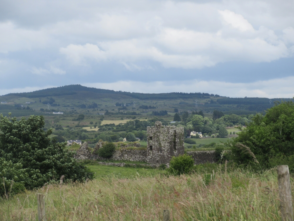
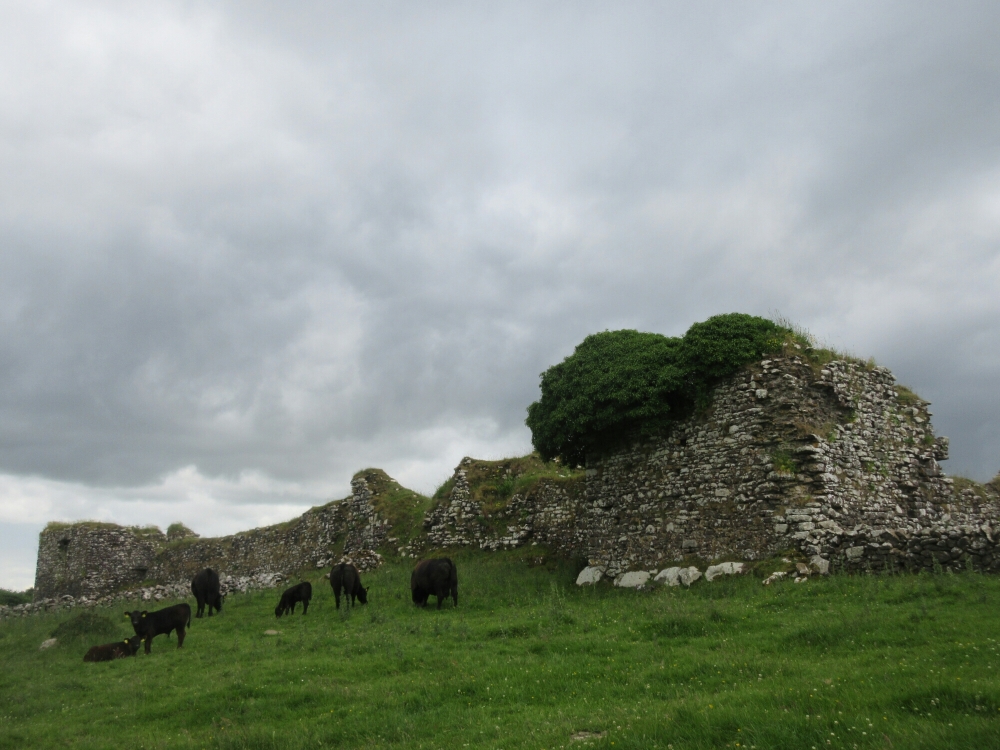
Moygara Castle is totally awesome
This it another of the castles that also has been consigned to a grazing ground, but the landowner has set aside a wee parking lot and a human-friendly gate in to the premises. A motorcycle was parked when I arrived – a nice couple over from England was poking around the castle when I got there. The gent apparently originally came from not too far away, and we chatted a bit about the castle and its origins.
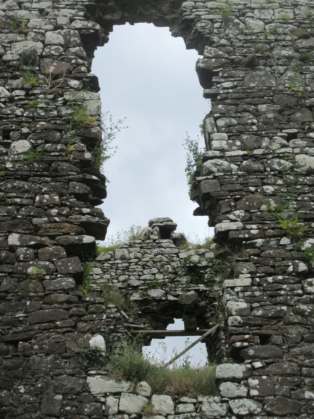
Also its awesomeness – this is one of the coolest ruins I have encountered in this entire trip, no joke

Check those rifle slits, the better to shoot you with my dear
It is remarkably intact for a castle apparently dating from the 1500’s
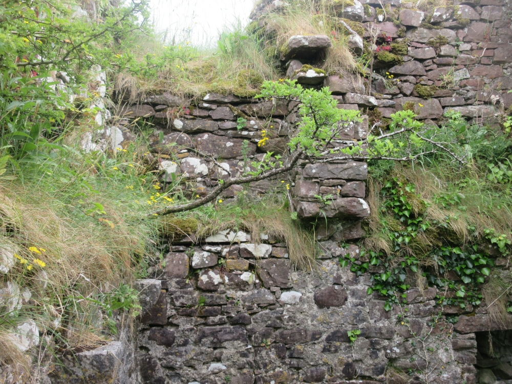
With many a nook and cranny and tree

The main entry, gated off by the farmer (amusingly the far side is unblocked so you can walk right in from over there

So that high knob on the right? That would be where I sat to eat lunch
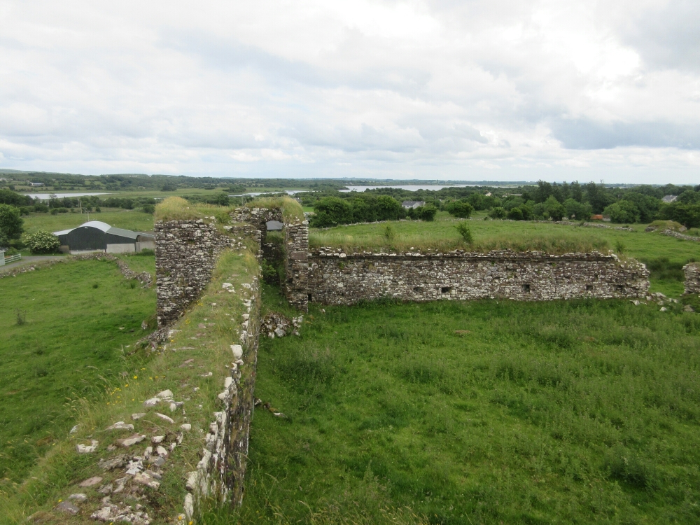
Pretty peerless views from up here

I, uhm, did drop a sock though, with the wind’s help (on the plus side, I got to sincerely and truthfully utter the phrase “oh shit I just dropped my sock off a castle battlement” which how many people ever get to say)

My sock from the other side for context on the nice height on which I was perching before
Finally I tore myself away, but wow what a cool spot.

I realized/learned/finally retained today that the R in a road label stands for Regional not Road, and therefore the L in road labels probably means Local not Lane as I had previously imagined
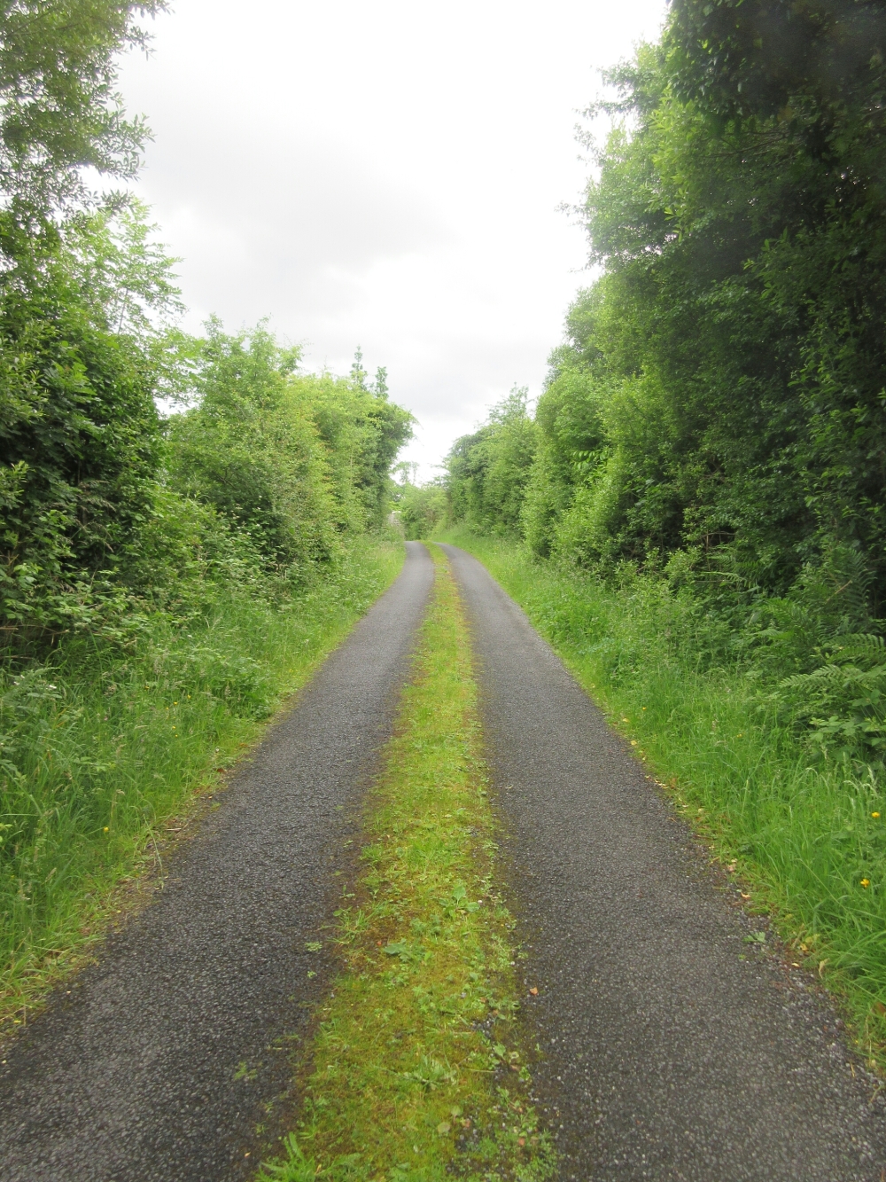
I like the Local roads better I won’t lie

I found this sign adorable but possibly a bit information dense
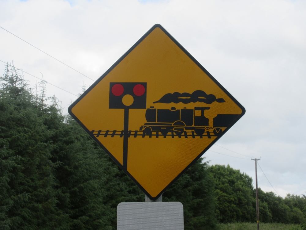
It was followed by this slightly different version three more times to make sure you got the point
I ended my day at a random intersection in the middle of rural Sligo, because Andrew Durkin is super nice and willing to drive out to a random point on a map (I literally dropped a marker on Google Maps and texted him the link, this is how obscure my endpoint was). My goal was to make it a reasonable journey to Castlebaldwin for the next day’s walk, because I have a mountain to cross and I didn’t want too much road to cover before that. We’ll see how I did tomorrow…




Those road sign designers tho… Actually, they’re quite charming in their non-conformist way. 🙂
LikeLike
Hehhh I thought you might have opinions on those. But yes – they seemed inefficient in their info design but so charming I couldn’t hold it against them.
LikeLike